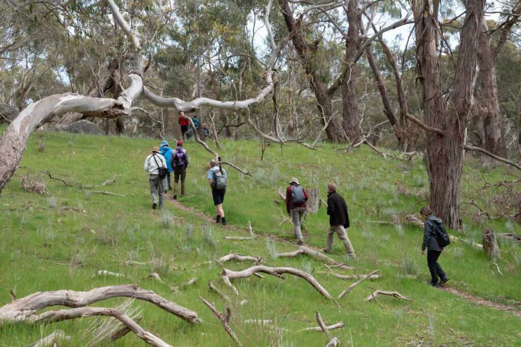
The Castlemaine Field Naturalists Club produces a range of brochures to help you explore our region. These showcase the rich variety of bushland, parklands, fauna and flora, geological features and historical sites of the Castlemaine district. Many of these brochures are available in the Information Centre, Mostyn Street, Castlemaine or can be downloaded from this web page.
Explore the region in your own time and use the many resources on other pages of this website to help identify the flora and fauna you see on the way.
Also included here are resources produced by other organisations and people.
Walks
A Walk to the Botanical Gardens via Kalimna Reserve (brochure)
A Walk in Dead Horse Gully, Norwood Hill (brochure)
Castlemaine Street Trees Walk (brochure)
Camp Reserve to Campbells Ck walk and cycle trail.
This walking and cycling track starts in Forest St, Castlemaine, opposite Camp Reserve and follows Barkers Ck and Campbells Ck for 5km to the Campbells Ck Bowls Club. A map of the route is available from Cartography Community Mapping
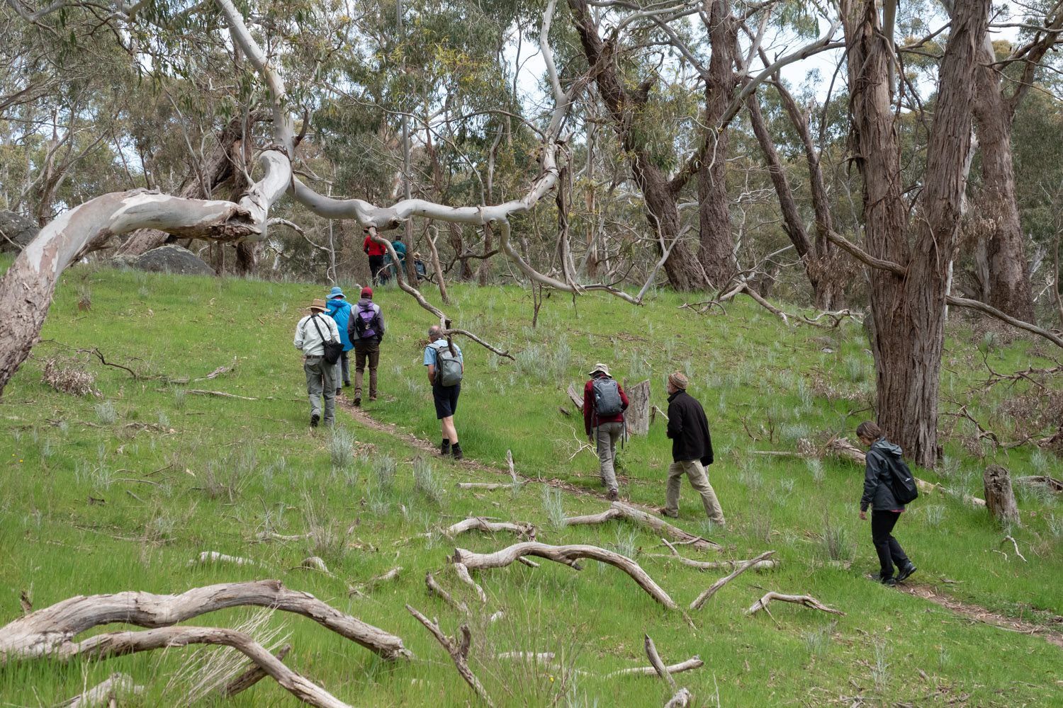
Photo: Euan Moore
Other resources
A walk on the Kalimna Circuit Track
The Friends of Kalimna Park have produced an interpretive guide for the Kalimna Circuit Track which you can download here.
Twenty bushwalks in the Mount Alexander region
The Friends of the Box-Ironbark Forests (FoBIF) have produced a book describing 20 walks in our local forests. You can purchase the book directly from FoBIF or from local bookshops.
Parks Victoria
Visit the Parks Victoria website for information about the Garfield Wheel, Forest Creek Diggings and the Pennyweight Flat children’s cemetery.
Maps
The website Cartography Community Mapping has downloadable topographic maps covering most of the larger areas of public land in the region. These maps are suitable for bushwalking or general exploration.
Flora
Significant Trees in the Castlemaine Botanical Gardens
Rare, Threatened and Endangered Plants of the Castlemaine District
Wild Plants of the Castlemaine District (Castlemaine Flora) is a useful website for identifying many of the plants that you will find around Castlemaine.
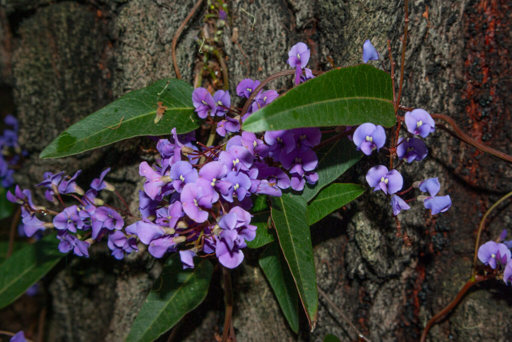
Photo: Euan Moore
Other resources
The Friends of Box-Ironbark Forests (FoBIF) have produced handy pocket books for the identification of Mosses, Eucalypts, Wattles and Native Peas found in our region. These may be purchased directly from FoBIF or from local bookshops.
The EUCLID key to Eucalypts of Australia is a Lucid key that is easy to use either online or as a phone App for the identification of Eucalypts.
Wattle – Acacias of Australia is a Lucid key for the identification of Acacias that is available via a website or as a phone App.
The Pea Key from the Australian National Botanic Gardens is another easy-to-use Lucid key. It is only available via the web site.
Weeds
Cootamundra Wattle Harms Our Local Natives
Chilean Needle Grass, Weed of National Significance
Distinguishing between Needle Grasses and Native Grasses

Photo: Euan Moore
Birds
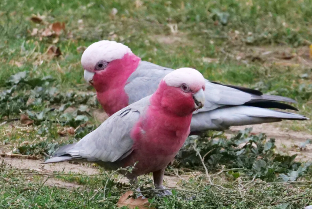
Photo: Noel Young
Other resources
Connecting Country in conjunction with our club and Birdlife Castlemaine District have produced a guide for a beginners’ bird walk along Forest Creek, Castlemaine with QR codes for bird and habitat information at each of several sites along the track. The guide can be downloaded here.
Castlemaine Bird Walks by Damian Kelly is a useful book that describes short walks in good birding spots of the region. It is available direct from the author or from local bookshops.
The Annual Bird Sightings Report – 2018 by Chris Timewell and Kerrie Jennings reports on all birds recorded in the Castlemaine district during 2018 and includes useful notes about each species. Copies available from Chris at c_timewell@hotmail.com
Geology
Geological Features of the Castlemaine District (Brochure)
More information about the geological features of our region including photos which supplement our brochure can be found here.
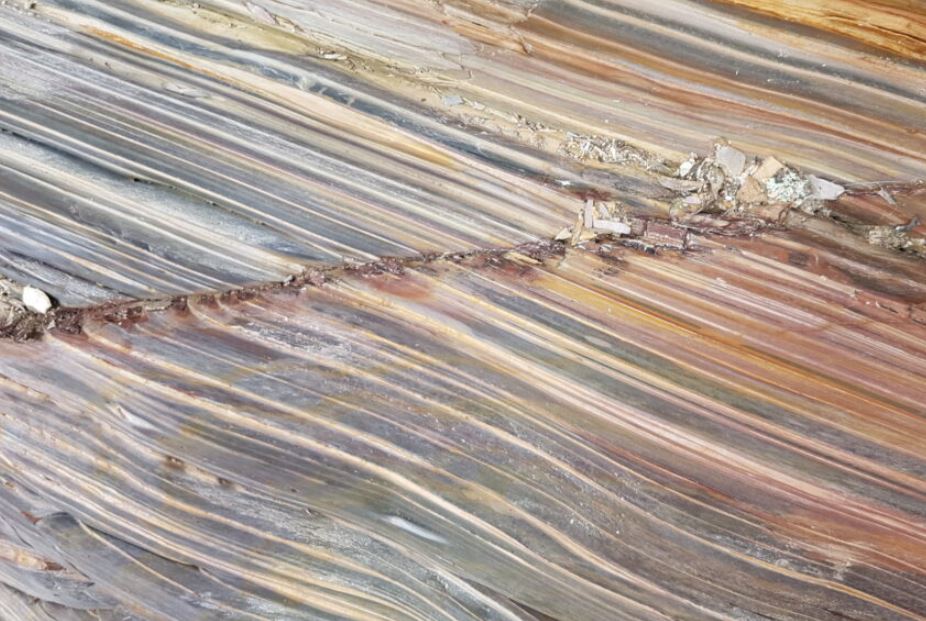
Photo: Jenny Rolland
Other Resources
Stories Beneath our Feet, Exploring the Geology and Landscapes of Victoria and Surrounds by Leon Costermans and Fons VandenBerg, 2022 gives an in-depth overview of the Victorian geology in an easily readable style. Available from: https://mucklefordbooks.com
The Anticlinal Fold by Clive Willman
Anticlines of Castlemaine by Clive Willman
Etty Street Cuttings by Clive Willman
Some additional geological sites are given in Castlemaine Goldfield 1: 10 000 Geological Report C E Willman, Energy and Minerals Victoria 1995. Appendix 1 Castlemaine Goldfield Excursion gives localities and brief notes. This report is available from: http://earthresources.efirst.com.au/product.asp?pID=515&cID=39&c=4337
