This project which is managed by the Threatened Species Conservancy Inc. (TSC) aims to map the extent and population of the Fryerstown Grevillea, Grevillea obtecta. Fryerstown Grevillea has a restricted range which includes Fryers Ridge, Porcupine Ridge and some bushland near Lauriston. It is not known to occur outside our region and while it may be locally common in small areas it is not widespread and is classified as Endangered under the Victorian Flora and Fauna Guarantee Act. Most of the known locations are in areas that have suffered disturbance from mining and timber harvesting over many years. Current threats to this species include inappropriate fire management and forest management practices such as road works and the creation of fuel breaks.
By mapping locations and populations of Fryerstown Grevillea the TSC will be able to assess the true status of this species and whether there is a need for recovery actions to enable it to persist in the wild. This information will also help inform forest/parks management practices in our area.
What to look for
Fryerstown Grevillea is one of the holly grevilleas. It is a low creeping shrub usually less than 20cm high with stems that spread horizontally across the soil surface for up to 1.5m. The leaves (up to 13 x 6 cm) are variably lobed with sharp points at the ends of the lobes. Flower spikes with pinkish-red flowers are at ground level. Flowering is from August to December.
Different leaf forms
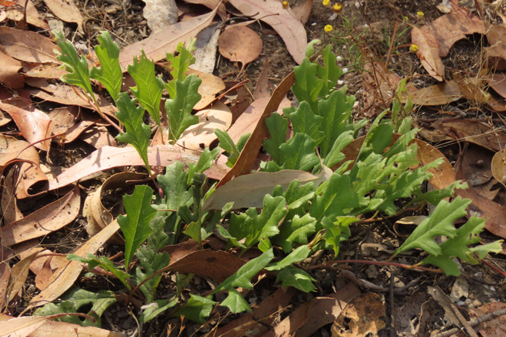
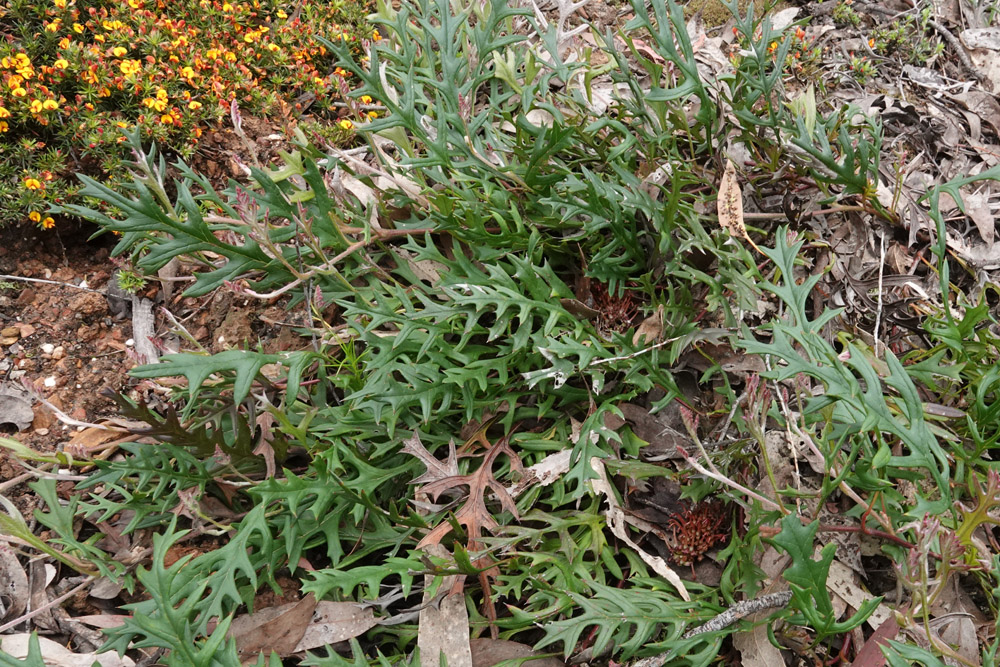
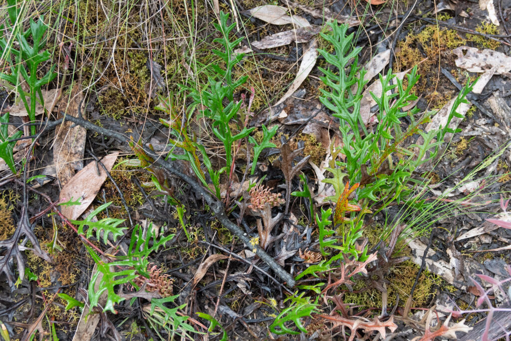
Photo: Euan Moore
How you can help
If you spend time walking in the forested areas south of Castlemaine you can help by recording any Fryerstown Grevillea that you find on your rambles. The project is using the ProofSafe Application which you can download free from your phone’s online App store. Once you have downloaded ProofSafe follow these instructions. When you have completed steps 1 – 3 you are ready to venture into the field and begin recording your observations. This is described in the later sections of the instructions.
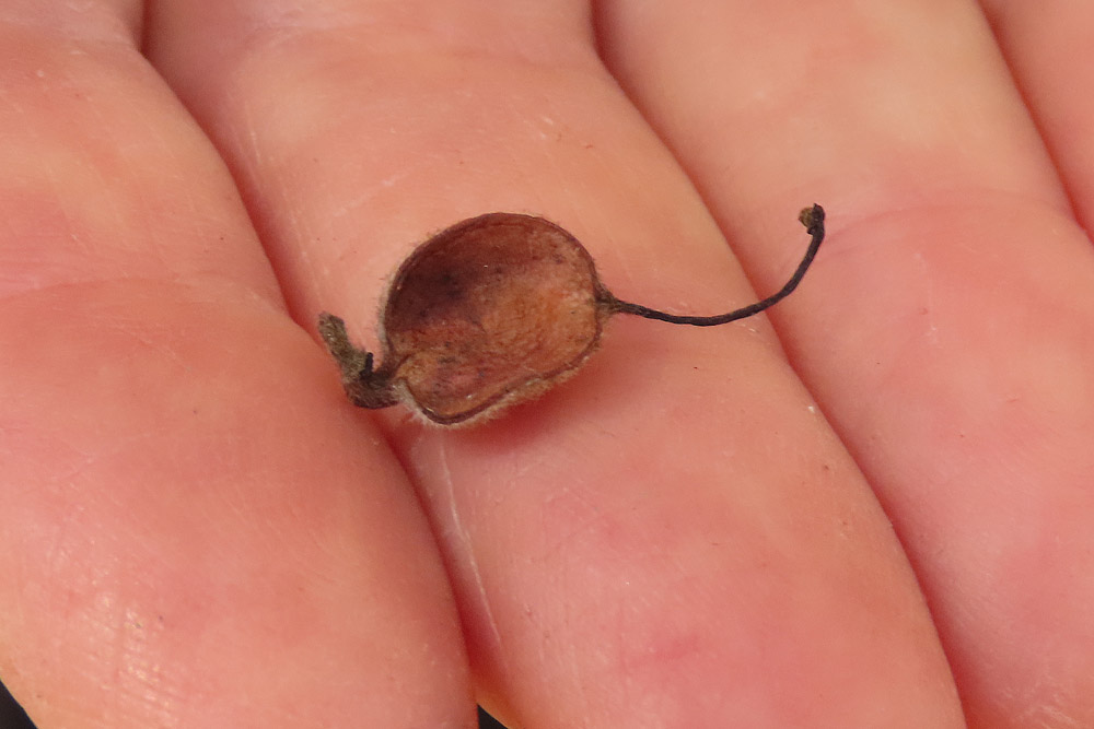
Photo: Lou Citroen
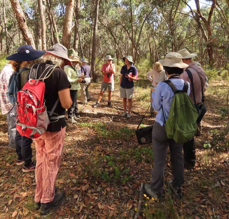
Photo: Lou Citroen